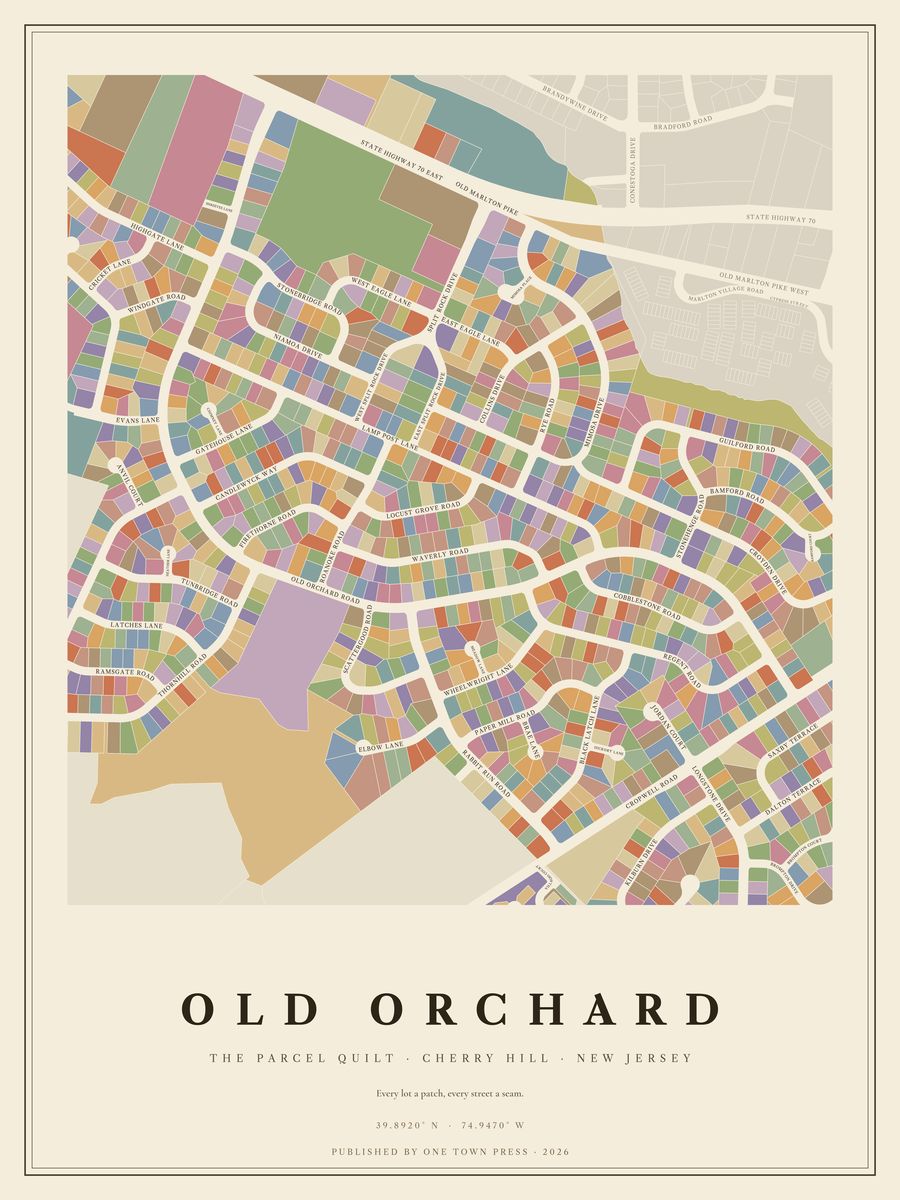
Tap the map to see it up close.
Cherry Hill · New Jersey
Tap the map to see it up close.
618 lots on Camden County’s parcel map, along 41 streets. Where the county records the year a home was built, they date from 1960 to 2003; 92% of them went up in the 1960s. The typical lot is about 0.24 acres; the largest is 29.2 acres.
Its streets: Old Orchard Road, Mimosa Drive, Lamp Post Lane, Guilford Road, Waverly Road, Rabbit Run Road, Black Latch Lane, Paper Mill Road, Croyden Drive, Stonebridge Road, Wheelwright Lane, Regent Road, Eagle Ln West, Locust Grove Road, Collins Drive, Rt 70 East, Rye Road, Niamoa Drive, Cobblestone Road, Elbow Lane, Split Rock Dr West, Mimosa Place, Cropwell Road, Candlewyck Way, Eagle Ln East, Roanoke Road, Stonehenge Road, Brae Lane, Kilburn Drive, Split Rock Dr East, Bamford Road, Thornhill Road, Meadow Lane, Split Rock Drive, Hickory Lane, Old Marlton Pk, Jordan Court, Villagio Court, Old Orchard Drive, Rabbit Run Drive, Scattergood Road.
Next door: Cherry Downs, Cherrybrook, Wexford Leas, Signal Hill, Lakeview, Surrey Place East.
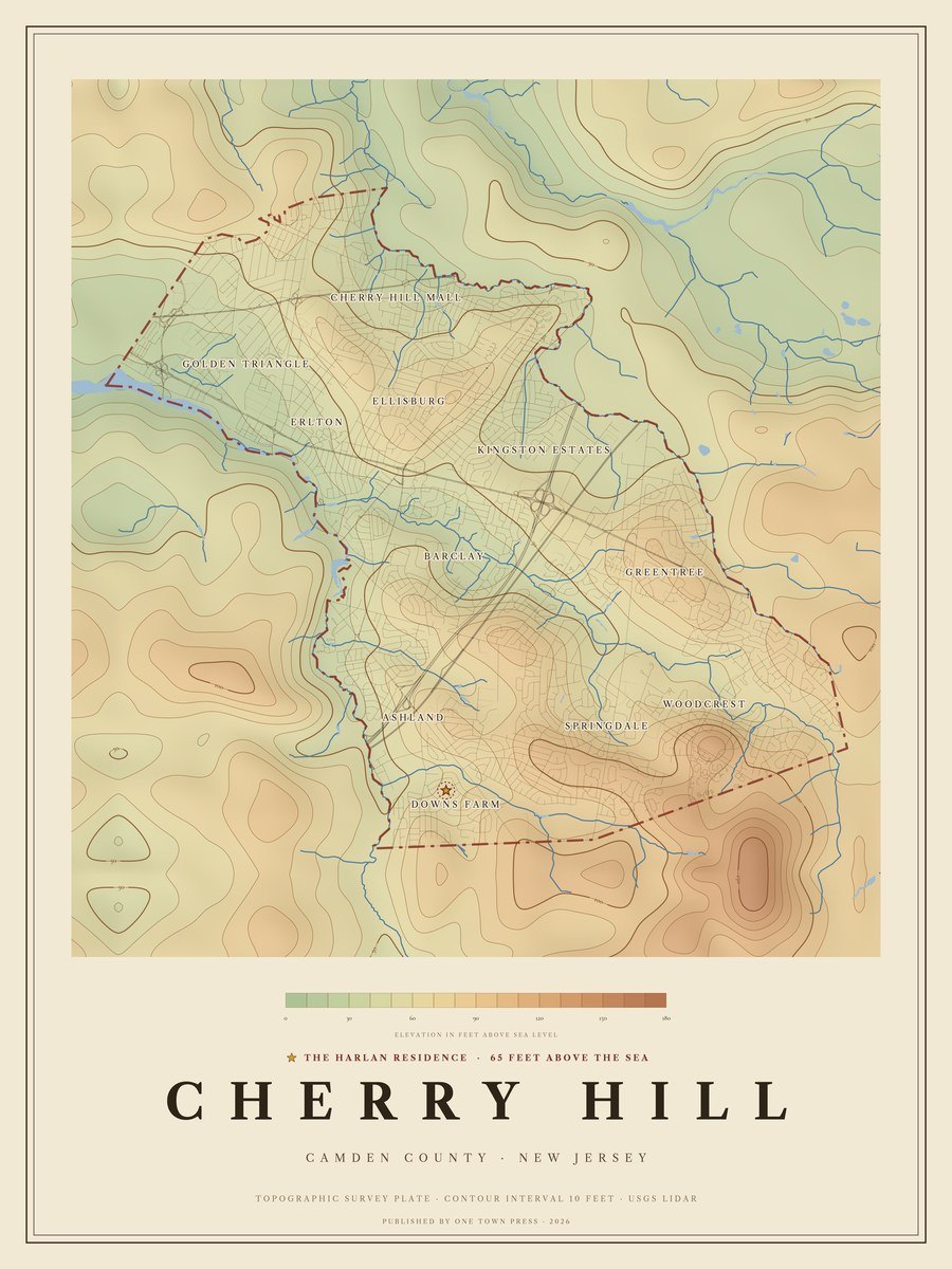
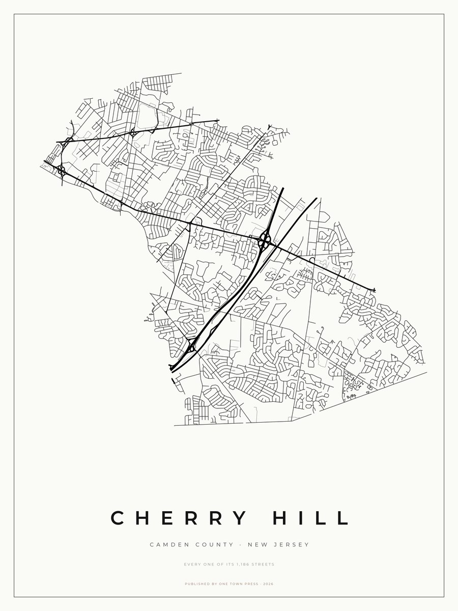
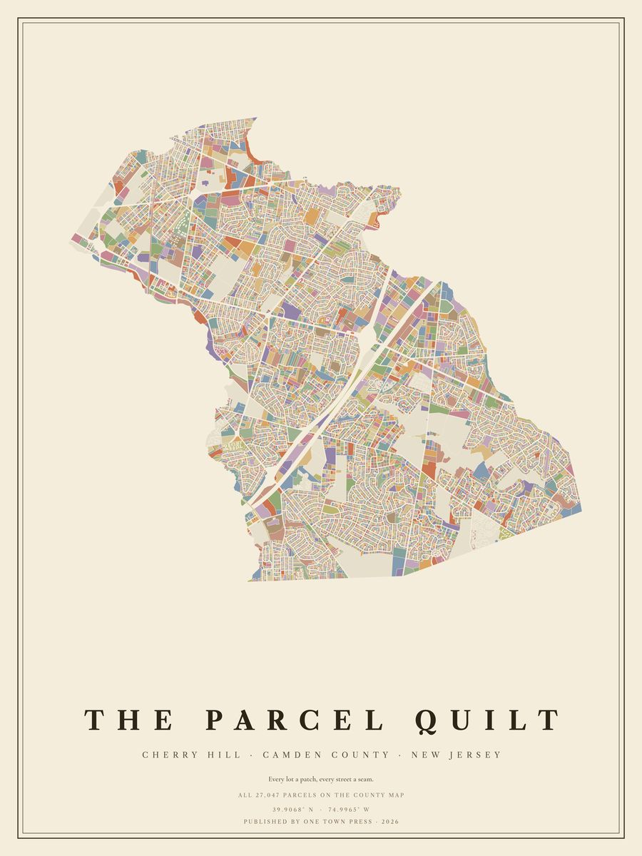
Your home on its own: the Lot, the Block, the Street →Back to Cherry Hill →