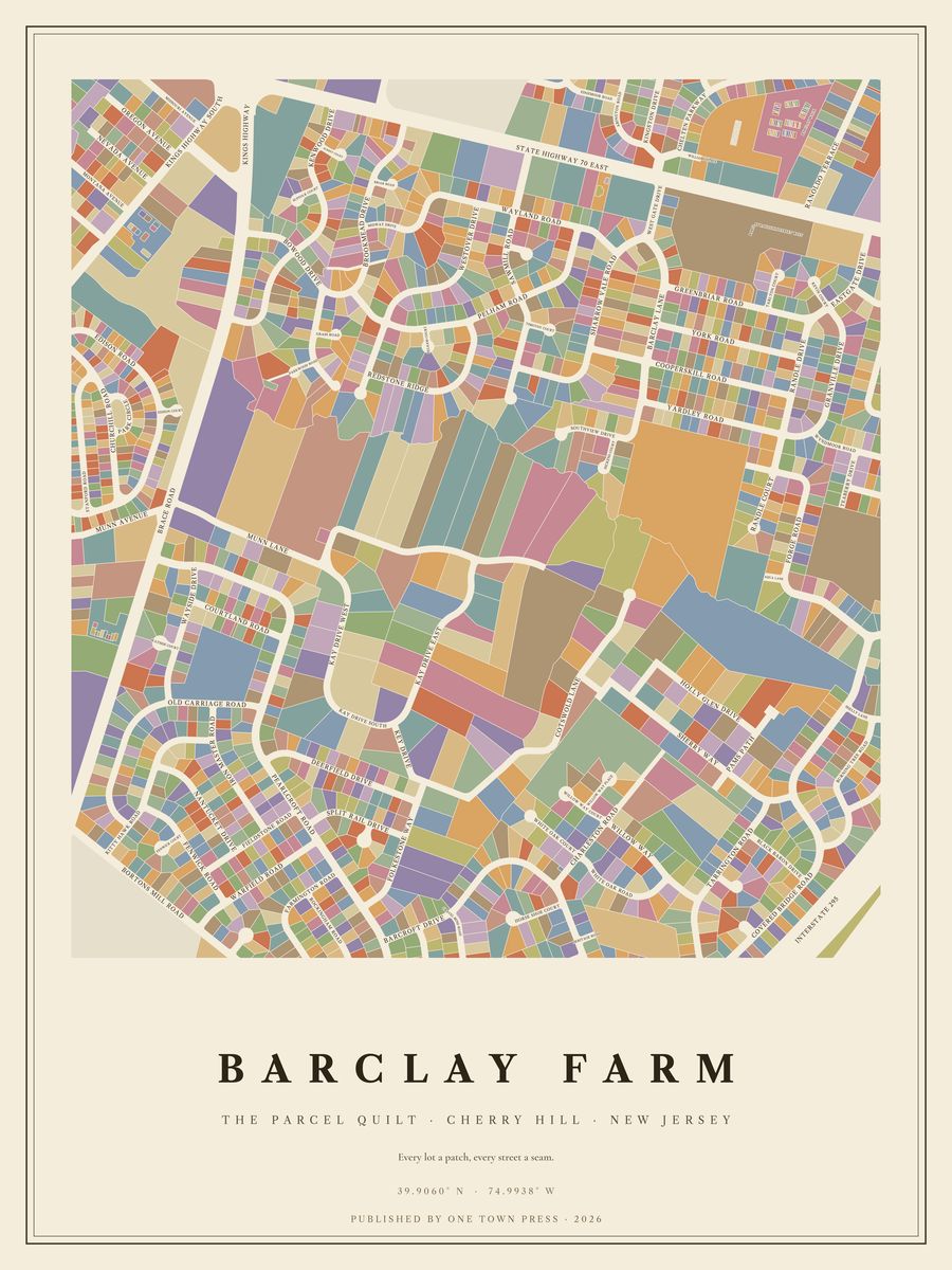
Tap the map to see it up close.
Cherry Hill · New Jersey
Tap the map to see it up close.
574 lots on Camden County’s parcel map, along 51 streets. Where the county records the year a home was built, they date from 1824 to 2024; 57% of them went up in the 1950s. The typical lot is about 0.27 acres; the largest is 31.5 acres.
Its streets: Forge Road, Sharrow Vale Road, Covered Bridge Road, Barclay Lane, Old Carriage Road, Coopers Kill Road, Green Briar Road, Yardley Road, Granville Drive, York Road, Kitty Hawk Road, Burning Tree Road, Rt 70 East, Pelham Road, Randle Drive, Brace Road, Fox Chase Lane, Randle Court, Wyndmoor Road, Bortons Mill Road, Southview Drive, Kevin Court, Dickens Court, Tarlton Court, Wayside Drive, Wayland Road, Fenwick Road, Sawmill Road, East Gate Drive, Holly Glen Drive, Teaberry Drive, Wayside Court, Winston Way, Timothy Court, West Gate Drive, Pams Path, Saint Johns Drive, Fenwick Court, Nantucket Drive, Shelly Lane, Caldwell Road, Ranoldo Terrace, Fulwood Road, Cotswold Lane, Sherry Way, Sawmill Court, Kresson Road, Coopers Kill Ro, Randle Road, Aqua Lane, 1 2 Sharrow Vale Road.
Next door: Hunt Tract, Ellisburg, Green Haven, Kingsway Village, Charleston Riding, Europa & Versailles.
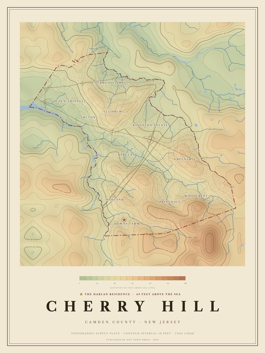
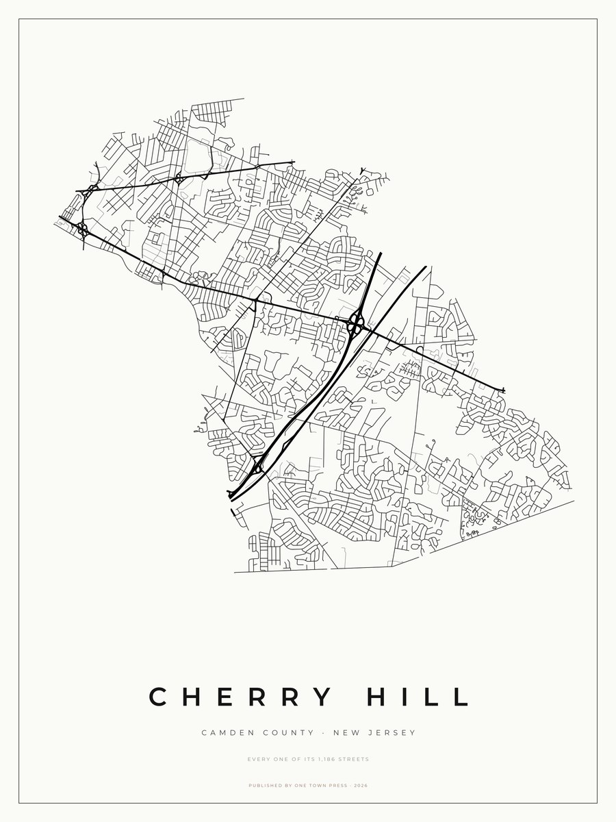
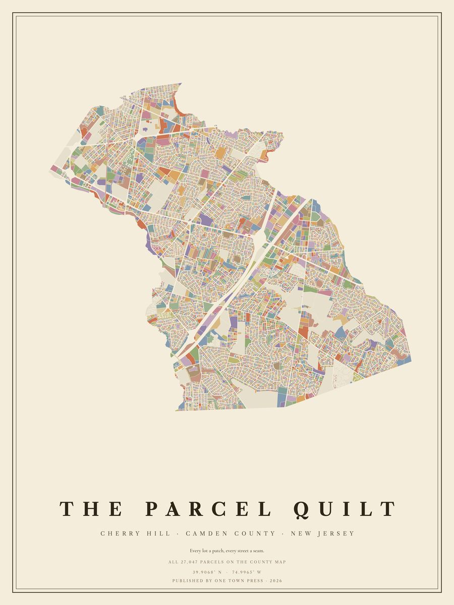
Your home on its own: the Lot, the Block, the Street →Back to Cherry Hill →