One town at a time
Maps of the ground
you actually live on.
Every street, every property line and every foot of elevation — taken from county parcel records, USGS elevation surveys and state road inventories, and drawn to hang on a wall. No stock maps anywhere.
Choose your town
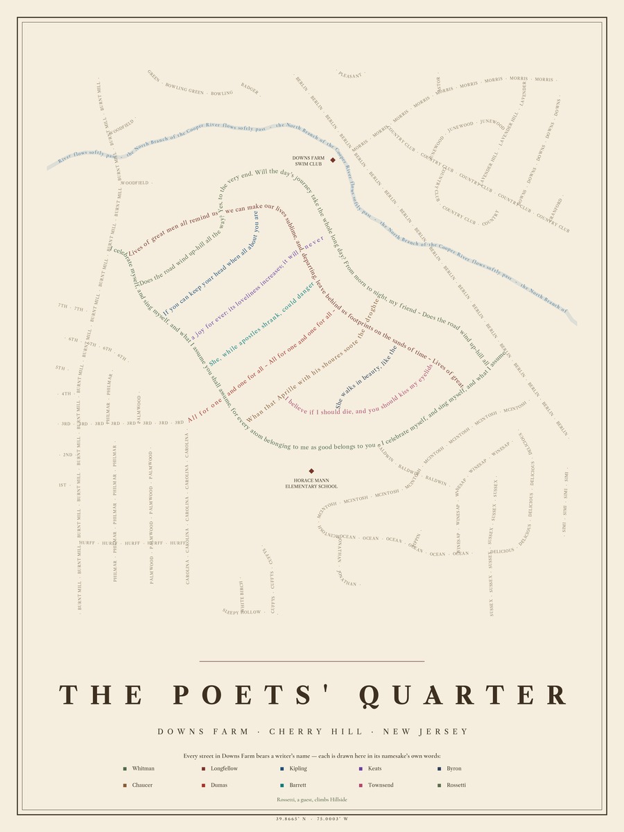
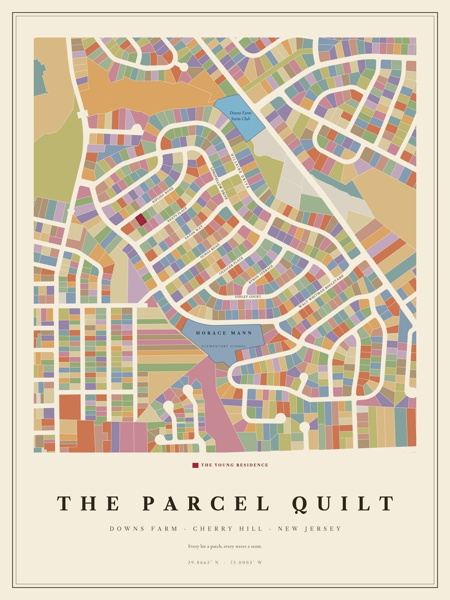
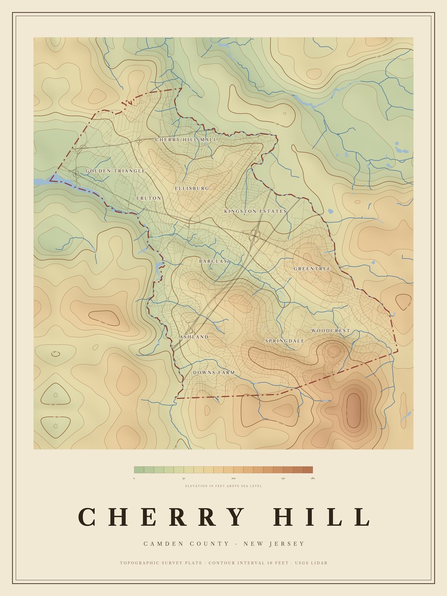
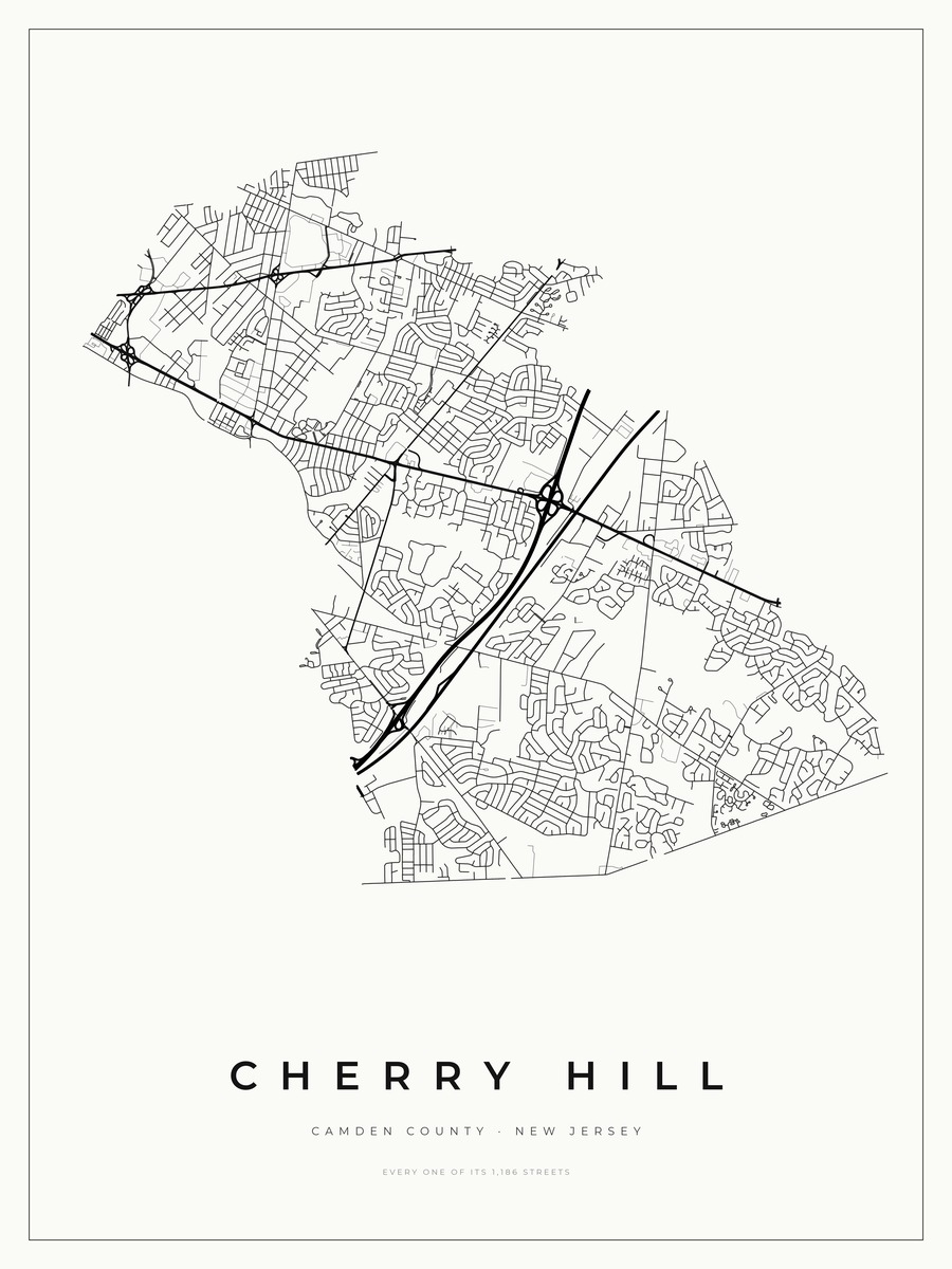
Cherry Hill · New Jersey
Downs Farm
Four maps: the Poets’ Quarter, the Parcel Quilt, and two of the township — 1,186 streets and 2,967 recorded lots.
Not drawn yet
Your town
Every town has something worth drawing — streets named after something, a river that shaped the grid, ground that is not as flat as it feels. Towns get drawn in the order people ask for them.
Add yours below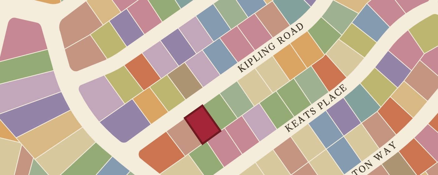
Put your own house on it.
Give me your address and I’ll mark your home on the map — your exact lot filled in crimson, or a gold star on your property. It comes from the county deed record, not guessed at, and your family name is set beneath it.
Which is the part nobody else can print for you. It is also the part that makes someone stop at your wall and lean in.
Personalisation is $30 per map. Every town gets a Parcel Quilt, which is the edition built to carry it.
Prices
The same, whichever town.
Personalisation is $30 a map where it is offered, so a personalised pair is $159. Ordering happens on each town’s own page. Delivered by hand anywhere in Cherry Hill, flat rather than rolled, so it is ready to frame the day it arrives. Shipped rolled elsewhere.
How these are made
Drawn from the public record.
Every line comes from survey data. Nothing is traced off Google, and nothing is clip art. Each town is drawn once, for that town, which is why the detail only really makes sense to the people who live there.
- County parcel recordsEvery recorded lot boundary, as filed
- USGS 3DEP elevation surveysGround height at ten-foot contours
- State road inventoriesEvery street, by name and by length
- U.S. Census TIGERBoundaries, water and rail
Prints are 18 × 24 inches at 300 DPI on heavyweight archival stock, made to order.
The queue
Which town should I draw next?
A shore house, a hometown, the street a friend grew up on. Tell me where and I’ll add it to the list, then email you once — when it exists. Nothing else, ever.